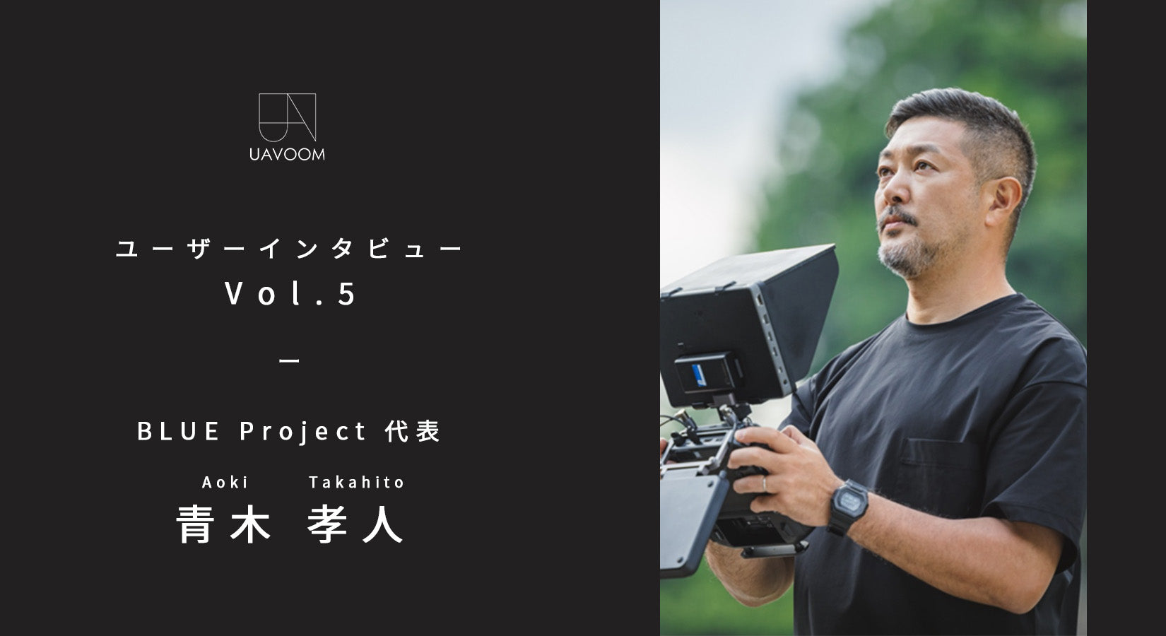
User Interview - Vol.5
Takato Aoki, Representative of BLUE Project
This series is an interview project that brings you the real voices of creators and business owners who use drone cameras.
In the fifth installment, we interviewed Takato Aoki, CEO of BLUE Project, which operates a wide range of drone-related businesses, from surveying and research to logistics, about the background to his use of drones, their benefits, and the equipment he uses.
■First, please give us a brief introduction about yourself.
My name is Takato Aoki. I am running a drone business under the name BLUE Project.
Our business is not focused on any specific thing, but rather covers everything that can be done using drones, from surveying to promotional planning and production, test piloting domestic drones, river and weather surveys, and drone logistics.
I feel that logistics in particular is a business that has the potential to expand, and I am currently working as the team leader for delivery drone operations at NEXT DELIVERY Co., Ltd. (※1).
My job is as a drone pilot, so my main job is to fly drones, and the rest of my work involves adding value to that.
To talk about my career, I started out in the workforce as a sales and management employee at a company that handled aircraft parts, etc. During this daily work, I was constantly thinking about whether there was a new job that would allow me to contribute more to the company and society, and that's when I came across drones.
We saw the potential of attaching a camera to a drone and flying it to obtain added-value data.
After that, I started BLUE project as a sole proprietor in 2018. It was around the time when drone-related jobs were starting to emerge, so I decided to enter the drone business at that time.
He had been playing around with cameras and tinkering a little with radio-controlled cars, so I guess he was on the lookout for them.
As I used to work in sales, I had no problem talking, so I used that skill to start my business and was able to gradually increase my customer base over the course of about a year.
...Looking back on my career, I don't have a particularly glamorous background, but rather I just kept my eye on the world, went with the flow, and flew drones with all my heart, which is how I ended up where I am today.
*1...A subsidiary of Aeronext Inc., which develops and operates industrial drones.
■Please tell us what made you start using drones.
The biggest reason is that I wanted to contribute to society.
I once saw someone flying a helicopter with a camera attached, and I thought, ``That could be valuable,'' so I decided to try doing the same thing with a drone.
AI and image processing are fields that will continue to grow, and I believe the scope of business will expand, and I feel that this is exactly what will be useful to people.
Having previously worked in the aircraft industry, I knew firsthand that the value of data can become an asset.
For example, when a disaster or malfunction occurs, there is often no before data, making it impossible to restore or repair. If there is before video or images, you can compare them with the after (after the disaster or malfunction). We thought that a business that records such "before" images would be valuable in the future. And that's how drones came to be added.
The value of data is finally beginning to be recognized, but the reality is that it has not yet fully taken hold in society.
For example, in the Izu disaster last year (※2), there was no information at all about the state of things before, which meant that it was impossible to restore homes and towns.
However, as I mentioned earlier, the awareness that it is necessary to take before photos is just beginning to emerge, so I feel that the asset value of data will only come to be noticed in the future.
*2...Refers to the Izuyama mudslide disaster that occurred in Atami City in 2021.
What kind of work do you use drones for?
I have a variety of duties, but currently I mostly work as a test pilot for domestically produced aircraft such as ACSL.
The work of a test pilot involves flying a row of drones for wind tunnel testing, and flying aircraft at the NEDO (※3) demonstration level.
We sometimes fly the aircraft towards helicopters to test whether the sensors can properly avoid and stop the aircraft. Of course, since this is still at the demonstration level, there are cases where it doesn't stop properly. In those cases, manual avoidance is required, which requires piloting skills. For this reason, we practice piloting on a daily basis so that we can respond to any accident. When we think about what ensures safety, there are the capabilities of the aircraft - obstacle sensors, go-home functions, etc. - but ultimately, I feel that it all comes down to our own hands (piloting). However, this is not the end point; I believe the goal is to be able to do everything automatically.
We also currently do a high percentage of pilot work for AirTruck (※4), a drone used in logistics operations.
Rather than using drones to deliver goods to depopulated areas where it takes an hour to get to a supermarket or convenience store, AirTruck has developed a service called "SkyHub" that creates a small shop within town and uses drones to deliver goods within that distance.
By the way, Kosuge Village in Yamanashi Prefecture is serving as a role model, and in fact, this drone delivery service has already started in Kosuge Village as a paid service.
We are currently receiving many requests from various local governments to implement this program in their local areas.
*3...Abbreviation for the New Energy and Industrial Technology Development Organization (NEDO).
*4...A drone dedicated to logistics jointly developed by ACSL and Aeronext.

■How has the use of drones improved those operations?
This may seem obvious now, but I want to reiterate that using drones has dramatically improved efficiency.
One example is bridge inspection work. Until now, scaffolding had to be set up before the inspection work could begin. However, by first flying a drone to take pictures, and then confirming that "the paint in this area is still OK," it is possible to determine that scaffolding is not needed in that area, and thus reduce the amount of scaffolding required.
The fact that we are now in a state where anyone can easily fly and get information from places that humans cannot reach is a sign that this will grow into an industry, and I think it's a good thing.
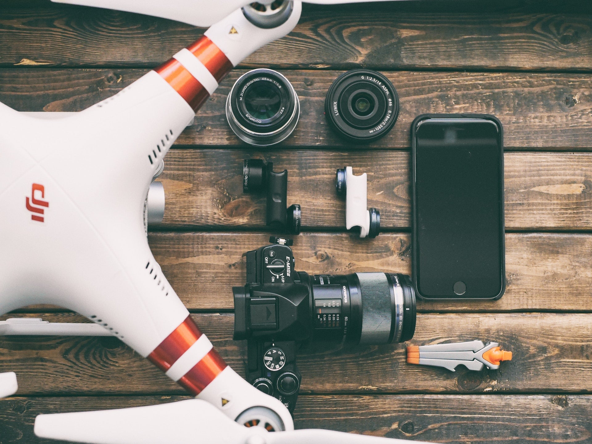
■What drone do you mainly use?
As mentioned above, the AirTruck logistics drone is now widely used.
I also use DJI aircraft such as the Inspire 2, Phantom 4 Pro, Mavic 2 series, and Matrice 300 RTK depending on the purpose. To be honest, I think you can use any aircraft if you want to (laughs).
We also respond to customer requests, so we use a wide variety of drones, such as the M300 + H20T (*5) or a PF-2 (*6) with a Sony α7R IV series drone mounted on it. We also sometimes use a PhaseOne (*5).
...I've said a lot, but in the end, my favorite aircraft is the Inspire 2 (lol).
*5...A camera that combines wide-angle, zoom, and infrared capabilities exclusively for the Matrice 300 RTK.
*6: An industrial drone manufactured by ACSL. It has the advantage of being customizable to suit different applications.
*7...A camera manufacturer headquartered in Denmark. Manufactures high-resolution cameras with 151 million pixels and more.

■Please tell us why you use the above and what you like about it.
The Inspire 2 is simply cool. The way the landing gear rises is so cool (laughs). Also, being able to shoot in RAW is really convenient. Other companies' products can convert to RAW, but it takes a bit of effort, so the Inspire 2 is definitely my favorite.
As for AirTruck, I don't think there is any other cargo aircraft in Japan that can compare to it.
I can safely say that I will be traveling all over the country in the future.
■Are there any peripherals you use regularly? If so, what are your recommendations or favorites?
For PC and video editing, I use Adobe Creative Cloud software and PIX4D (※8).
Since I often go out to the site, it's important to take a PC with decent specs, use the appropriate software, and check things on site.
After Typhoon Hagibis in 2019, we had a job to survey the collapsed areas in the Tohoku region, which had suffered heavy damage. A surveying company set control points and conducted ground surveys, and then we flew the drone automatically, but we had to process the data quickly and check on the spot to ensure that the orthoimages and 3D point clouds were properly created. Otherwise, we would have to go to the site again.
I'll also bring a good monitor that can output 4K and has clear colors. I need to be able to check the footage on the spot and make sure it can be processed properly, so I think the drone and PC/software go hand in hand.
*8...SfM (Structure from Motion) software developed by PIX4D (headquartered in Switzerland) that efficiently and automatically creates orthomosaic images from 3D point cloud data.
■What are your expectations for future drones and peripheral devices?
Drone pilot certification is about to become a national exam, but as of May 2022, there are still no drones approved for Level 4 (※9).
I feel that it's important not just to fly, but to fly safely and efficiently, so once level 3 and 4 aircraft that have cleared that requirement become easier to fly, I think we'll be living in a world where we look up at the sky and see lots of drones flying.
Starting from there, I think we'll see the first drones carrying people - drone taxis and the like. To be honest, I think it'll be a while before something like that comes out. Maybe after I'm dead (laughs).
That's why I think the industry will become even more active when Level 4-approved aircraft become available. I look forward to that future, and I hope to see a world in which the profession of drone pilot becomes even more popular.
*9...Flight beyond visual line of sight without assistance in populated areas.

BLUE Project Representative Takato Aoki
A drone pilot with nearly 2,000 hours of piloting experience. After working as a salaryman, he launched his own business, BLUE Project, and is involved in all aspects of drone business, including aerial photography, surveying, and logistics. He believes in the development and potential of drones, and flies all over the country, with the aim of contributing to society as a domestic manufacturer.
BLUE Project HP: https://blue-p.info/