
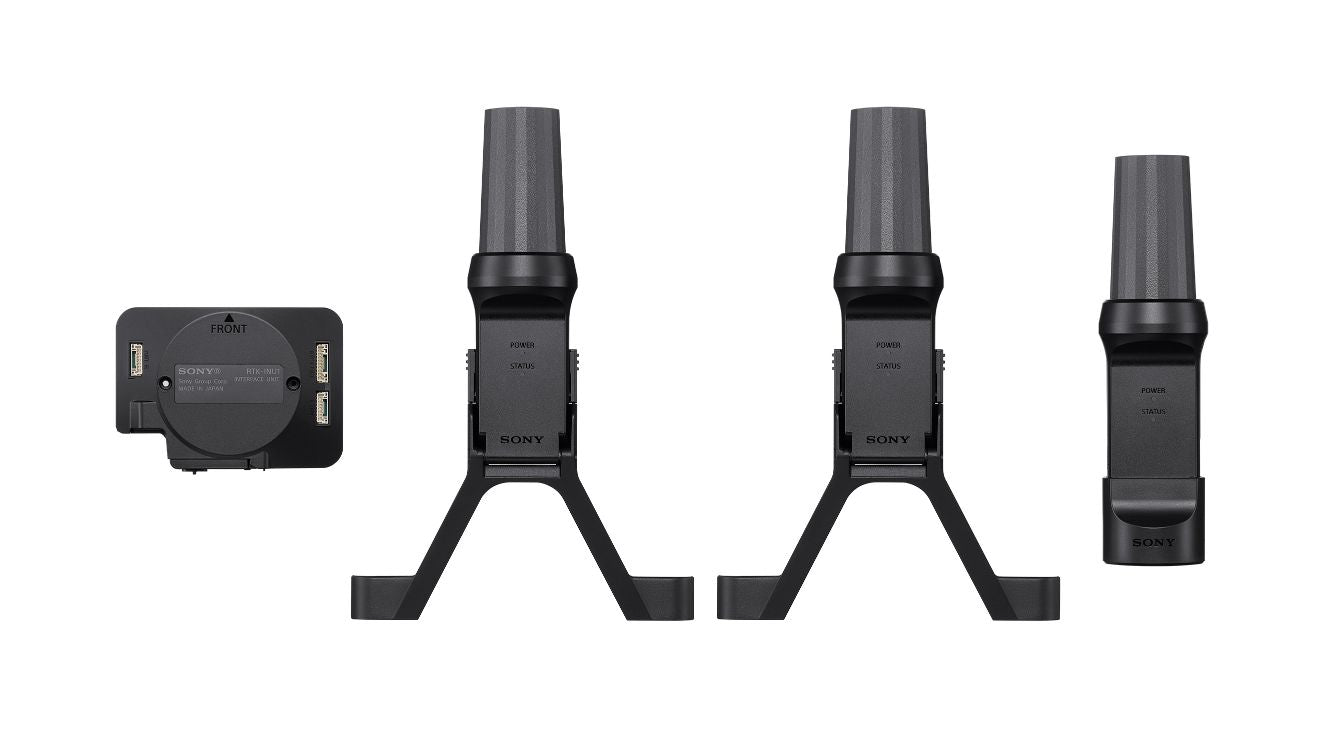
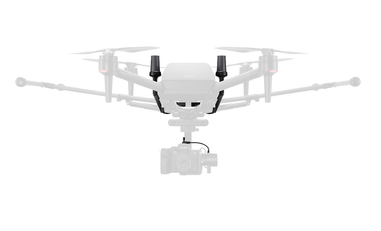


Description
Click here for the special product introduction page
System Configuration
By attaching the interface unit to the aircraft, two aircraft antennas can be installed.
■When using a fixed station antenna
The fixed station for the RTK GNSS receiver is configured by a transmitter and a fixed station antenna connected via a USB cable. GNSS correction data is sent from the transmitter to the aircraft.

■ When using the GNSS correction data distribution service
You can also connect to the GNSS correction data distribution service (*) by configuring network RTK settings in the "Airpeak Flight" app on your mobile device. When using the GNSS correction data distribution service, you cannot use a fixed-station antenna.
 * The GNSS correction data distribution service requires a contract with a distribution company. Please contact the distribution company for details on the service and how to use it.
High-precision positioning using RTK GNSS
By attaching it to an aircraft, high-precision positioning is possible using RTK GNSS (Real Time Kinematic Global Navigation Satellite System). While GNSS has an error of a few meters, RTK allows for accurate positioning in the order of a few centimeters, making it possible to create highly accurate point clouds and 3D models.
The acquired location information is recorded as mapping data on an SD card inserted into the interface unit along with the file name of the corresponding image data. The mapping data is saved in a format compatible with various SfM (Structure from Motion) software. The location information is synchronized with high precision with the timing of the image data capture and is recorded as offset information from the antenna position to the center position of the image sensor. Using this, it is possible to link highly accurate location information to images.
High-precision self-location estimation for improved accuracy in manual and automatic flight
High-precision positioning information from RTK GNSS improves aircraft control during flight. It improves self-positioning accuracy during manual and automatic flight, enabling precise operation and highly accurate automatic flight path reproduction. It also improves hovering and flight stability compared to GNSS-only positioning.
Operability in environments with strong magnetic field interference
Two antennas attached to the aircraft allow it to recognize its direction and fly even in environments with strong magnetic interference that make the aircraft's built-in compass unusable.
*This product is not completely resistant to magnetic field interference. Please note that it may be affected by magnetic fields depending on the environment.
Other Features
- Supports logging for PPK
・GNSS level (single positioning) observation positions are accumulated and averaged to estimate the coordinates where the fixed station is installed. Relative position coordinates can be easily obtained.
* The detectable position accuracy is based on GNSS-level observations, so there may be errors in meters from the set value due to environmental factors.
- Equipped with a function to detect movement and fall of the fixed station. If the position of the fixed station changes due to strong winds or a person colliding with it, a notification will be sent to the app.
・By connecting a fixed station to the sub-transmitter, dual operation mode is also supported. Flexible operation according to needs is possible.
The aircraft antenna can be folded and stored in the packaging box of the Airpeak S1 (ARS-S1) drone while still attached to the aircraft.
Specifications
| Main specifications | |
| External dimensions | Interface unit: Approx. 19 mm x 86 mm x 64 mm Aircraft antenna: Approx. 191 mm x 130 mm x 56 mm Fixed station antenna: approx. 152mm x 41mm x 41mm |
| mass | Interface unit: Approx. 55g Aircraft antenna: Approx. 84g (per antenna) Fixed station antenna: Approx. 105g |
| Hovering accuracy *1 | Vertical: ±0.1 m, Horizontal: ±0.1 m (RTK enabled) Vertical: ±0.1 m, Horizontal: ±0.1 m (when GNSS is enabled *2, when Vision Position is enabled) Vertical: ±0.5 m, Horizontal: ±0.5 m (when GNSS is enabled *2, when Vision Position is disabled) |
| RTK positioning accuracy *3 | Horizontal: 1 cm + 1 ppm, Vertical: 1.5 cm + 1 ppm |
| GNSS | GPS, GLONASS, Galileo, BeiDou, QZSS (Michibiki) |
| Positioning Update Rate | 5Hz |
| Supported correction data format | RTCM 3.1, RTCM 3.2 MSM3, RTCM3.2 MSM4, RTCM 3.2 MSM5, RTCM 3.2 MSM7 |
| Recording media | SD memory card slot (compatible with UHS-I standard) |
| operating temperature | -10℃ - 40℃ |
| Contents | Interface unit x 1, aircraft antenna x 2, antenna cable x 2, hot shoe cable x 1, hot shoe attachment x 1, sync relay cable x 1, hex screws x 10, M2 screws x 4, fixed station antenna x 1, micro USB OTG cable x 1, USB Type-C cable (transmitter - fixed station) x 1 |
*2 When the RTK function of the RTK kit is not used and GNSS-only positioning is used.
*3 When the RTK function is available
Secure Payment
Your payment information is processed securely. We do not store credit card details nor have access to your credit card information.