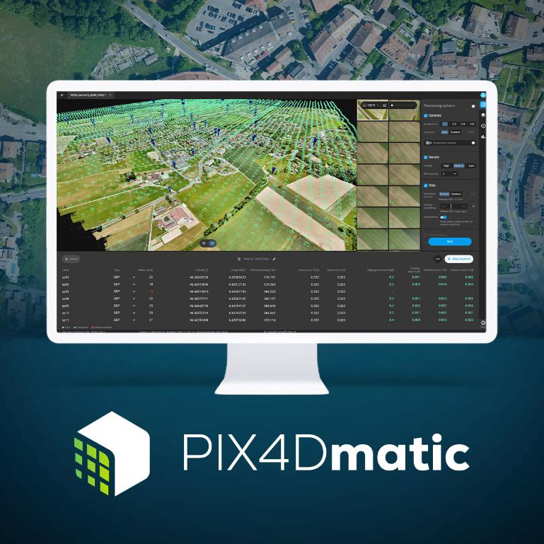
Next-generation photogrammetry software for professional drone and ground mapping
Generate highly accurate 3D maps and models from images
High-speed processing
PIX4Dmatic makes it easy to handle and process large amounts of data, dramatically reducing the time it takes to get results (up to 50%) while maintaining survey-level accuracy.
Easy accuracy check
Ensure project accuracy with the help of GCPs, checkpoints and manual tie points. Accuracy metrics are available in a dedicated tie point table and printable quality reports.
Vertical coordinate systems and geoid support
PIX4Dmatic supports most commonly used vertical coordinate systems and their geoid equivalents.
Import from PIX4Dcatch
It processes both LiDAR and RGB image output from PIX4Dcatch.
■Click here for a list of PIX4Dmatic features